mobile View, to the German Version tap the flag


- Special Municipality of the Netherlands
- possession of the Netherlands
- until 2010 part of the Netherlands Antilles
- own name: Sint Eustatius
• Flag
• Meaning/Origin of the Flag
• Map
• Numbers and Facts
• History
• Origin of the Country's Name
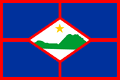
Flag of St. Eustatius,
ratio = 2:3,
Source, by: wikitravel.org


The flag of St. Eustatius was adoped in the year 2004. It shows the colours red, blue and white, so the colours of the Netherlands Antilles and of the Netherlands. A rhombus in the middle of the flag shows a silhouette of the island in green and a yellow five-pointed star.
Source: Wikipedia (D)
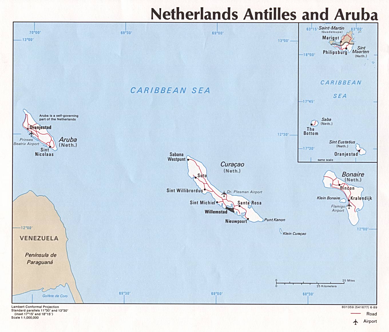
enlarge: click here
Source: Free Maps www.mapcruzin.com
Area: 8 sq.mi.
Inhabitants: 3.193 (2015)
Density of Population: 394 inh./sq.mi.
Capital: Oranjestad, 1.000 inh.
official Languages: Dutch, Papiamentu, English
Currency (since 1st of January 2011): 1 US-Dollar (USD, $) = 100 Cent
Currency (to 31st of December 2010): 1 Netherlands Antilles Florin (NAFl.) = 100 Cent
Time Zone: GMT – 4 h
Source: Wikipedia (D),
CIA World Factbook
1493 · discovery by Christopher Columbus
1636 · colonization by the Netherlands
1781 · conquered by British troops in the Fourth Anglo-Dutch Sea War, the island becomes part of the United Kingdom
1781 · conquered by French troops
1784 · the Netherlands regained control of the island
1816 · Dutch ownership of the island is confirmed by contract
1954 · internal autonomy
2006 · referendums for independence fail
2010 · dissolution of the Netherlands Antilles, St. Eustatius becomes a "Special Municipality of the Netherlands"
Source: Wikipedia (D)
The name "St. Eustatius" has its roots in the Holy Eustatius.
Source: Wikipedia (D)
